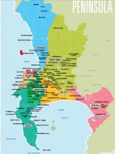
Cape Town Tourism helps you find your way from the City Centre to all the areas that make the Mother City an exciting place to visit.
Find your way in and around the City with the excellent series of maps available from Cape Town Tourism Visitor Information Centres. Each map also highlights the top attractions that you will find there.
Cape Town City Centre and the adjacent Atlantic Seaboard can be found in the Cape Town Map.
This map also shows you where the other areas are.
There are specific maps to these areas which you can download here:
Click and view the maps, which you can also download and print. Or pick up a copy at any Cape Town Tourism Visitor Information Centres.
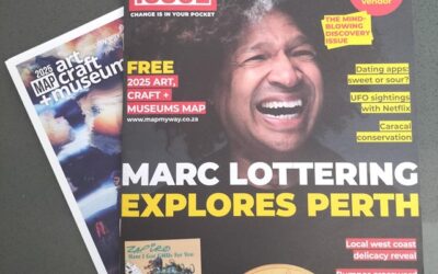
For a range of maps – all available at Cape Town Tourism Visitor Information Centres – visit MapMyWay


